File:Faltir - Country Map.png
Jump to navigation
Jump to search

Size of this preview: 800 × 585 pixels. Other resolution: 1,102 × 806 pixels.
Original file (1,102 × 806 pixels, file size: 264 KB, MIME type: image/png)
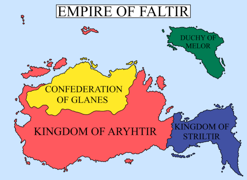
Map of the constituent countries of the Empire of Faltir
File history
Click on a date/time to view the file as it appeared at that time.
| Date/Time | Thumbnail | Dimensions | User | Comment | |
|---|---|---|---|---|---|
| current | 10:13, 6 February 2024 | | 1,102 × 806 (264 KB) | Micah1009 (talk | contribs) |
You cannot overwrite this file.
File usage
There are no pages that use this file.